Orchon Valley Cultural Landscape

Bearing evidence of the late nomadic empires from the Xiongnu to the Eastern Turks to the Uyghurs and the Mongols, the Orkhon Valley is one of the most fascinating archaeological landscapes in Mongolia. Since 2004 it is part of the UNESCO World Cultural Heritage.

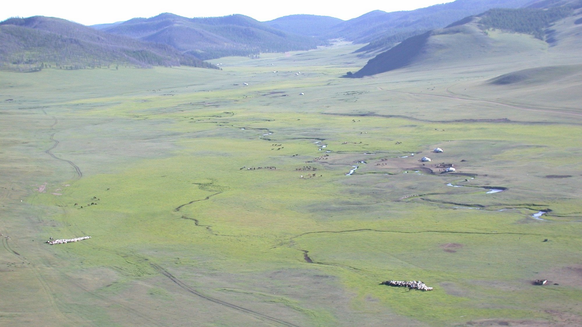
View over the Orkhon valley in the Central Asian steppe. © DAI KAAK // Anonym

Laufzeit  seit 1999

Projektverantwortlicher  Dr. Christina Franken, Janna Fabry

Adresse  Dürenstr. 35-37 , 53173 Bonn

Email  Christina.Franken@dainst.de

Team  Dr. phil. Hendrik Rohland

Laufzeit  seit 1999

Partner  Ludwig-Maximilians-Universität München, Institut für Paläoanatomie, Domestikationsforschung und Geschichte der Tiermedizin, Hochschule Karlsruhe – Technik und Wirtschaft, Institut für Geomatik, Ludwig-Maximilians-Universität München, Department für Geo- und Umweltwissenschaften

Projekt-ID  3627

Permalink  https://www.dainst.org/projekt/-/project-display/60878

Überblick

The valley, about 300 kilometres southwest to the modern capital Ulaanbaatar, played a central role in the formation of late nomadic leadership which manifested in building urban settlements like the old Uyghur capital Karabalgasun and the Mongolian capital Karakorum, the “city of Genghis Khan”. Choosing the Orkhon Valley as a location for a future capital was not only due to the topographical advantages: the Orkhon River with its fertile wet land and the Khangai Mountains in the west. According to the Old-Turkish ideology of kings, the region also was a sacred landscape, the Ötükän yis, a landscape that legitimated its possessor to rule over all people. With the foundation of a city, the claim and at the same time the justification for world dominion became manifest in an architectural manner.

In secular terms, the cities served as the administrative headquarter of the growing nomadic empires, as a religious center with a number of temples and as an emporium that attracted merchants and craftsmen from all over the world.

Since 1999, a German-Mongolian research cooperation has been investigating the Orkhon Valley with its nomadic city foundations, with special focus on Karakorum and Karabalgasun.

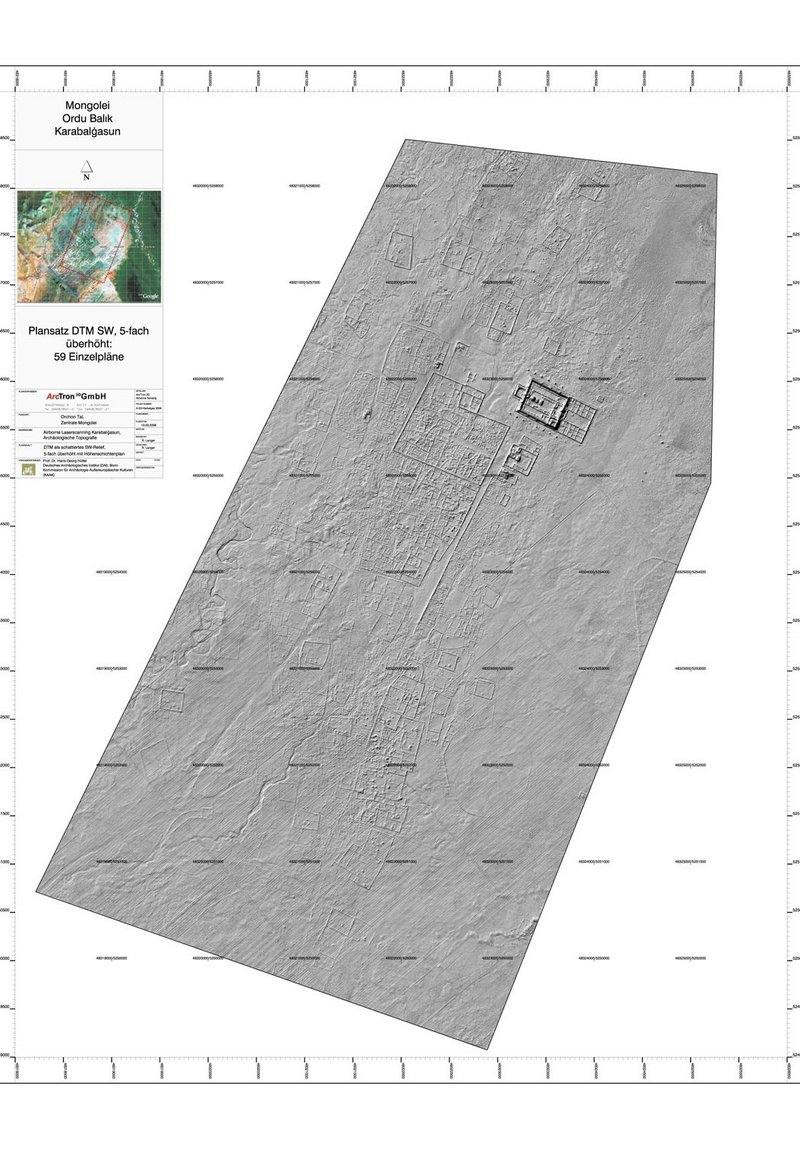
Airborne Laserscanning of Karabalgasun
City map of Karabalgasun based on an aerial survey 2007. © DAI KAAK // Arctron
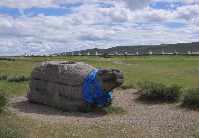
Karakorum granite tortoise
Granite tortoise in the south-west of the city, used as a base for inscriptions. © DAI KAAK // Anonym
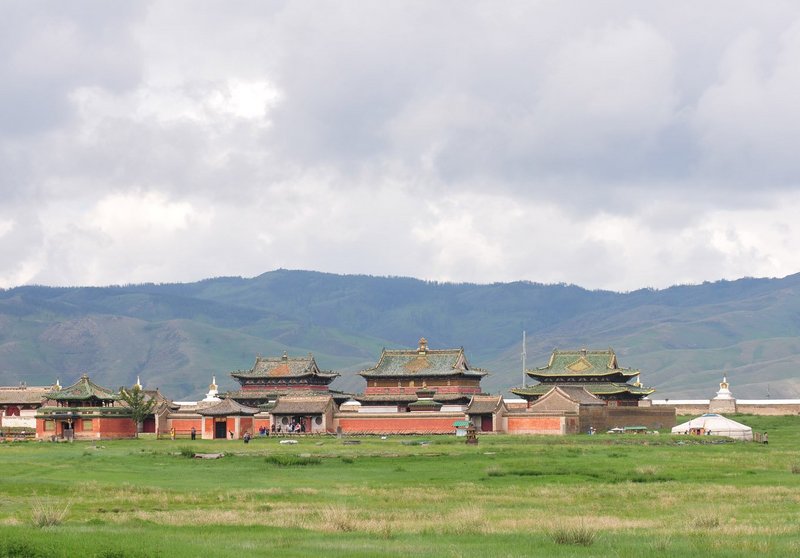
Erdene Zuu monastery
Temple inside Erdene Zuu monastery © DAI KAAK // Anonym
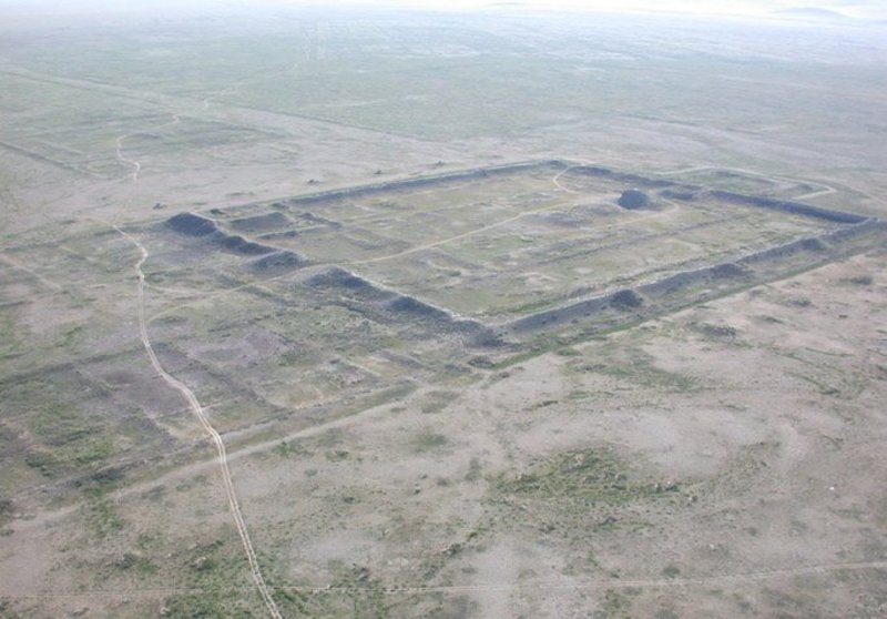
Aerial view Karabalgasun
View from the north-east of the so-called temple/palace city and the adjacent urban structures. © DAI KAAK // Anonym
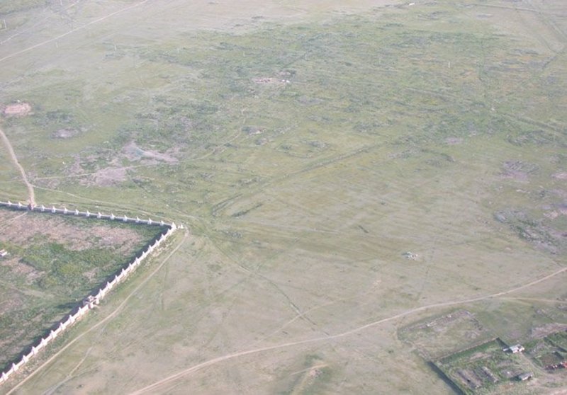
Aerial view Karakorum
View of the wall and structures of the ancient Mongolian capital that are still visible above ground, to the south of which is the wall of the Erdene Zuu monastery. © DAI KAAK // Anonym
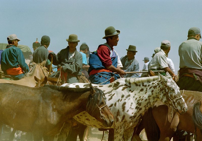
Naadam-celebrations
Mongolia's national festival, Naadam, is held every July and features competitions in three traditional sports: horse racing, archery and wrestling. © DAI KAAK // Anonym
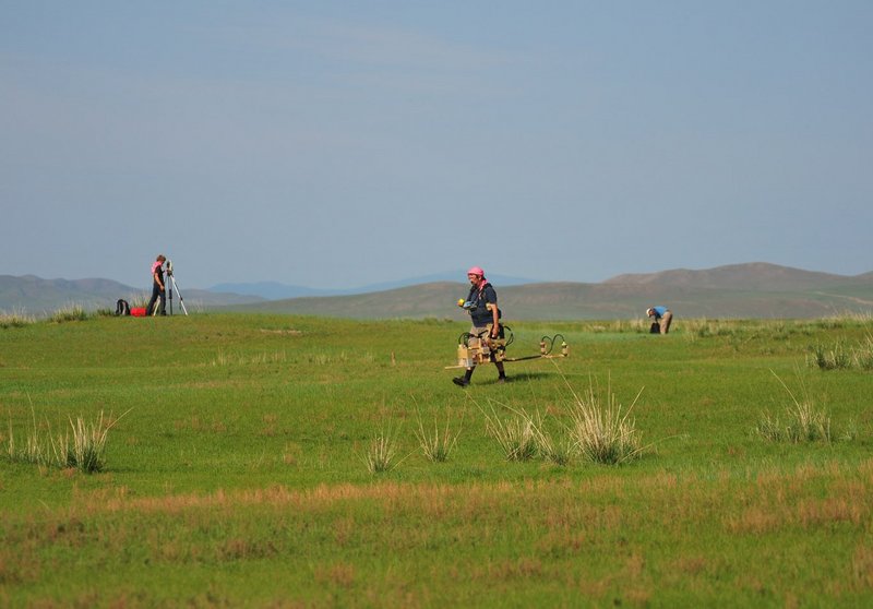
Survey
Geomagnetic survey by J. Fassbinder, LMU Munich © DAI KAAK // Anonym