Overview
The IT department of KulturGutRetter focuses on two areas. Remote sensing methods can be used to analyse the situation and provide relevant maps in preparation for a Cultural Heritage Response Unit (CHRU) mission. A system is being developed to collect data and document cultural heritage in the field, where information can be collected using mobile devices and accessed at any time.
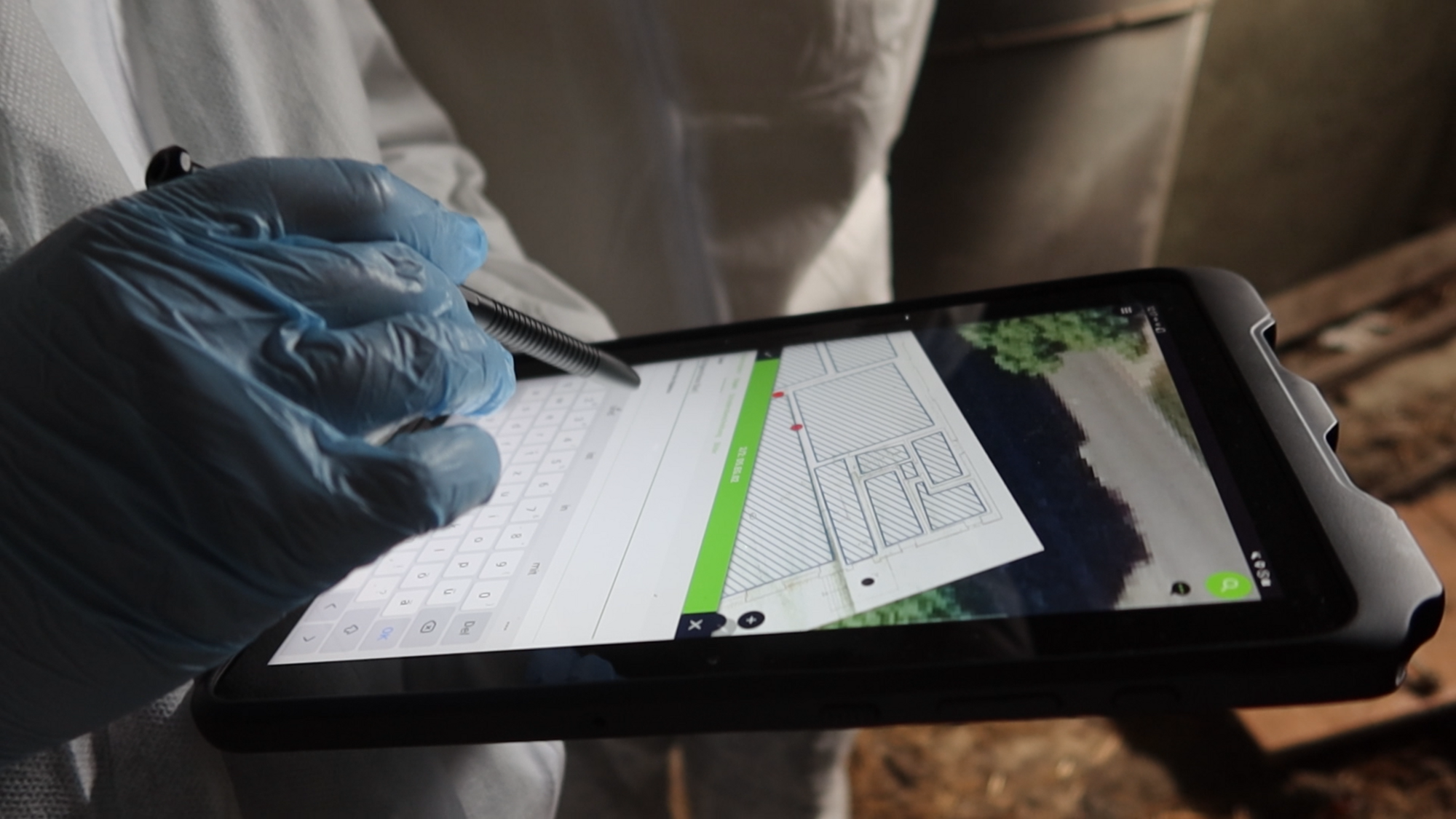
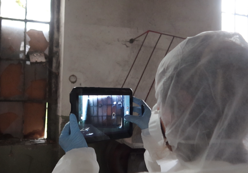
Aerial and satellite imagery will be used to quickly produce situation maps and change analyses, enabling the operations management and the deployed team to be optimally prepared for the situation on site. In the case of an endangered monument or archaeological site, the teams need spatially limited but quickly available information. For each operation, a GIS project is to be created with relevant information on existing movable and immovable cultural assets, including information on existing infrastructure where appropriate. The data needs to be optimised for use on mobile devices and be available offline. Based on this information, tablets and smartphones can be used on a project-specific basis via the QField data application to document the cultural assets and any damage. Depending on the application and current conditions, the processes must be quickly scalable in phases so that the app can always be used in the best possible way for digital recording, depending on the scenario. Finally, it must be possible to hand over all the data in a transparent and reusable data package to those responsible on site.


