Overview
Due to the global historical significance of the ancient sites in the Orkhon Valley, the entire region was declared a World Heritage Site by UNESCO in 2004. This poses great challenges to researchers, institutions and other stakeholders: to explore, protect and make the heritage accessible to the public. The region is home to archaeological monuments that bear witness to the human settlement of the steppe, the development of a widely networked elite and the formation of states and great empires on the foundation of a predominantly nomadic economy. Particularly noteworthy are the urban deserts of the cities of Ordu Balik and Karakorum, which were important urban centres of the Uyghur and Mongol empires, respectively, in the Middle Ages.
Despite basic information obtained from historical sources, the history, structure and functions of the steppe capitals still raise many questions. The older excavations have often focused on monumental architecture such as palaces and temples, while research on the overall structure of the cities and their hinterland is still in its infancy. To address this question, Mongolian-German collaborative research projects began with surveys and excavations in Karakorum in 2000 and in Karabalgasun in 2007. Detailed plans of the ancient remains on the surface are a crucial prerequisite for further research and understanding of the steppe cities. For Karakorum, a digital surface model has already been captured by geodetic survey with a total station, meticulously measuring over 80,000 points. The much larger terrain of Karabalgasun was surveyed by helicopter in 2007 using Airborne LiDaR technology. The steppe offers almost perfect conditions for remote sensing techniques due to its sparse vegetation and settlement. The scan covered an area of about 40 km², of which 20 km² were filled with walled enclosures and mounds representing the remains of the former settlement. Although the scan revealed much of the site, it also proved that it extended further, especially to the north and west.
However, LiDaR and geodetic surveys on foot are expensive, so the areas surveyed were limited. As research on urban sites in the steppe becomes more interested in issues of urban hinterland, urban sprawl and long-range settlement patterns, detailed mapping of large-scale areas is required. This poses the challenge of surveying large areas in a short time with affordable equipment and preparing the collected data for scientific analysis.
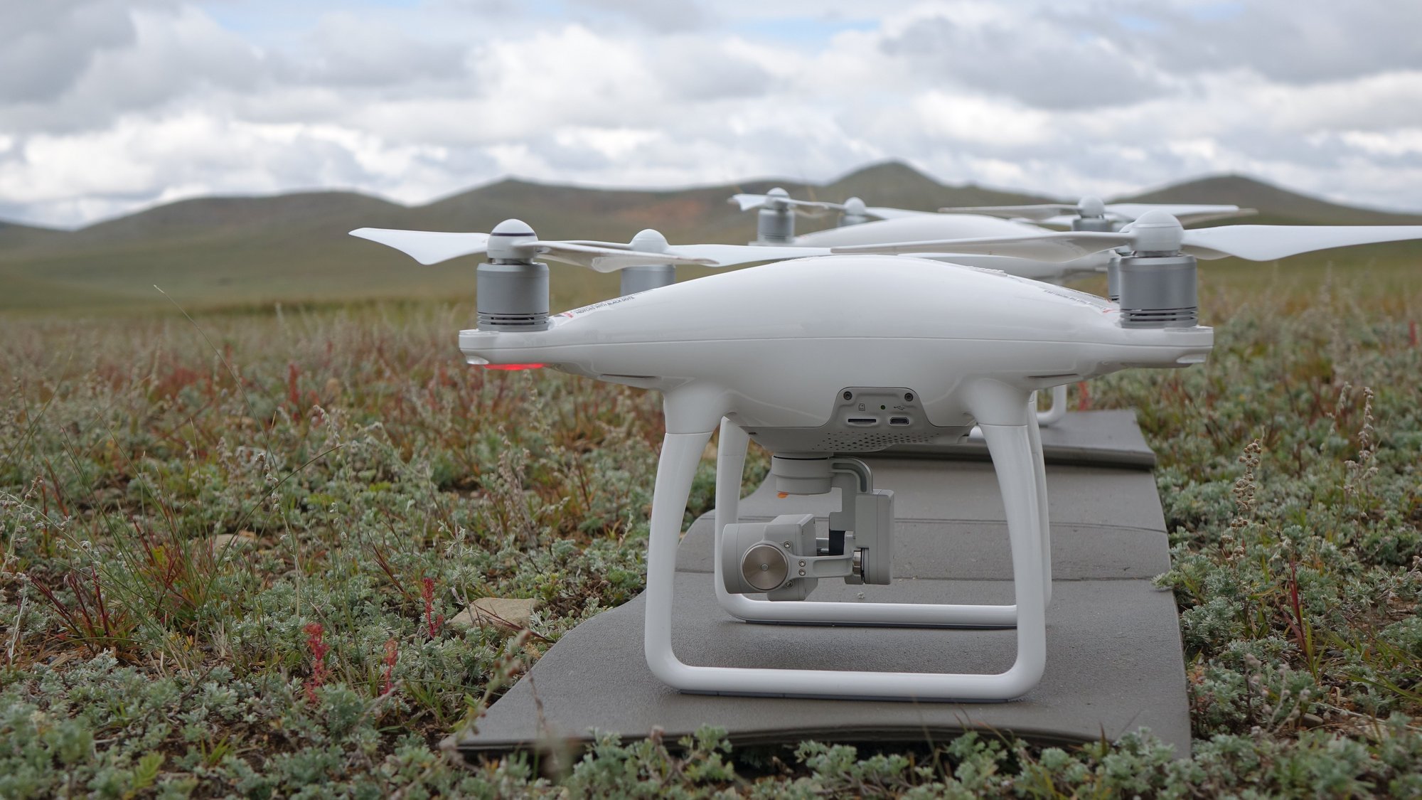
Therefore, satellite remote sensing was applied to cover the full extent of Karabalgasun. SENTINEL-2 satellite imagery, freely available for scientific purposes at Copernicus Open Access Hub, and image datasets provided by the RapidEye Science Archive allowed the area to be surveyed via multispectral data with resolutions between 6 and 10 m per pixel. The satellite images only showed larger enclosures clearly, while smaller structures remained indistinct or invisible. Two areas were particularly interesting. North of the already known site, near the flood plain of the Orkhon, the sentinel images showed some obscure rectangular structures. If it could be proven that these were former buildings, this would significantly change the original picture of the extent of the city. Another interesting area was to the west of the areas covered by the laser scan images. Several walled enclosures located along the Jarantain Gol, a small tributary of the Orkhon River, are visible on the satellite images. This raised the question of whether there is also continuous development there, comparable to other areas of the city, with smaller buildings and enclosures, or whether they are just isolated outposts of the city. The analysis of the satellite images provided us with a basis for further planning of remote sensing activities on the site. When the opportunity arose to cooperate with the "Archaeocopter" project of the HTW Dresden and the FU Berlin, the following focal points of investigation were determined:
1. Areas adjacent to the city of Karabalgasun, with the aim of completing the
mapping of the site in areas where further archaeological remains can be expected according to satellite imagery.
2. The site of Karakorum and its immediate surroundings, with the aim of refining the digital elevation model and extending the study area beyond the recognisable ramparts of the city, as well as producing a detailed mapping of the area of the Erdene Zuu monastery.

