Overview
The settlement hill of Buto (Tell el-Fara’in) is located within the province of Kafr es-Sheikh. The site is approximately 10 km east of the Rosetta branch of the Nile, and 40 km from the Mediterranean coast. There are only a few large settlement mounds known in the western Nile delta, whereas they are more common in the eastern Nile Delta. In this respect, Buto differs from other sites in the western Nile Delta, but also in terms of its long history, as many other sites in the western Delta were only established in the Ptolemaic-Roman period. Moreover, in Buto, geomorphological investigations indicate a repeated shifting of watercourses over time. These shifts might be one of the causes of the diverse settlement history in Buto, as there was a hiatus between the late 3rd and the early 1st millennia BCE.
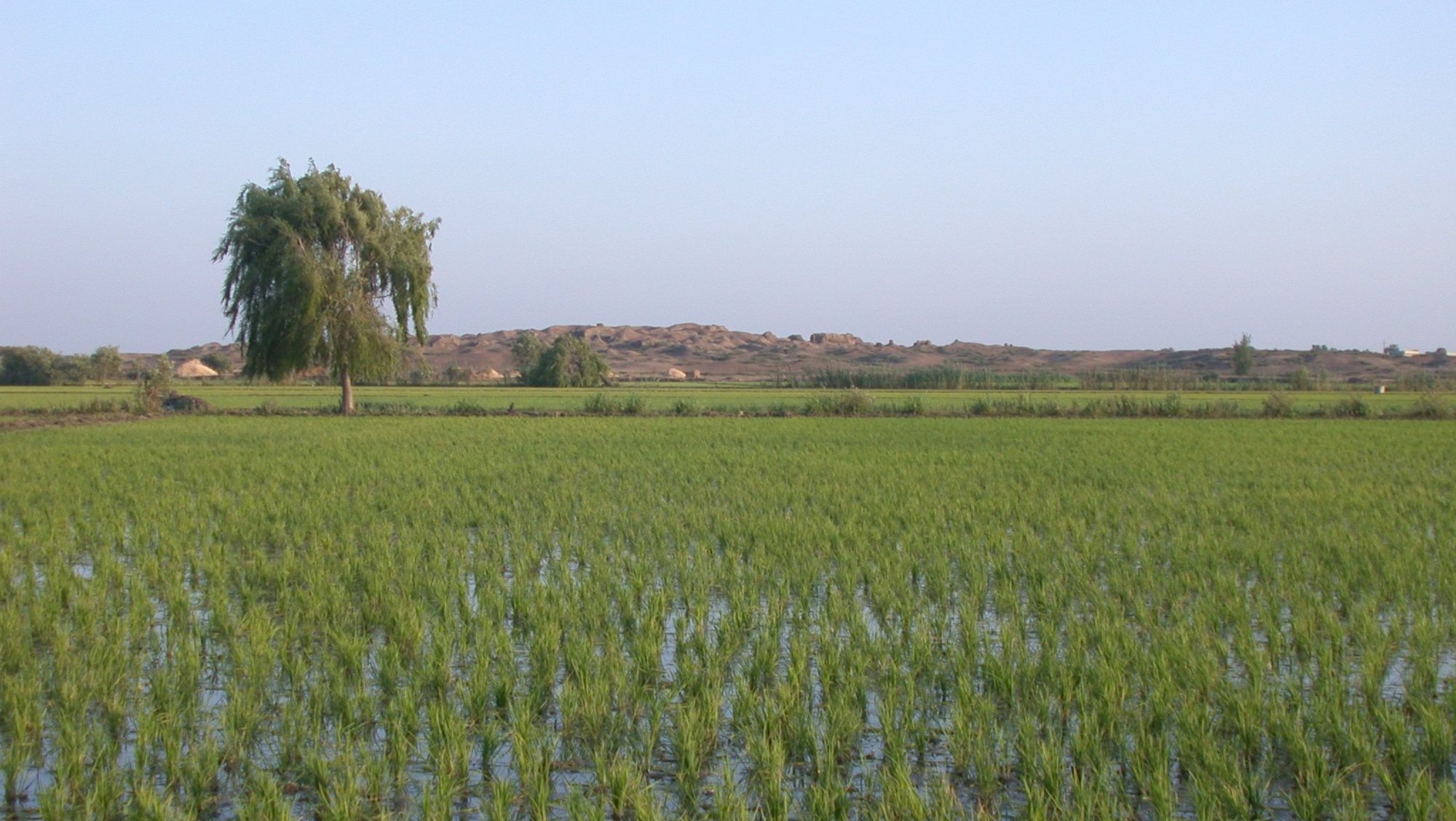
Today, Buto covers an area of almost 1 km², and the main mound is up to 20 m higher than the surroundings. The structures that are visible above the surface are only those from the late occupation in Buto, mainly belonging to the Greco-Roman period (close of the 4th century BCE to 4th century CE). In contrast, deposits of the earlier settlement periods, from the early 4th millennium to the late Old Kingdom in the late 3rd millennium, are not only underneath today’s surface but also beneath the water table. Therefore, these could at times only be investigated by means of small trenches and with the assistance of pumping equipment.
Until very recently the focus of the DAI’s work has been on prehistoric and predynastic periods and the process of state formation. Therefore, an area of 2100 m² was investigated, resulting in an uninterrupted full stratigraphical sequence from the early 4th millennium BCE to the beginning of the Old Kingdom around ca. 2700 BCE, covering a span of more than 1000 years. So far, the results imply the gradual emergence and slow formation of the Egyptian state over the course of the 4th millennium. Finds such as imported goods, but also their local imitations, hint at Buto having had a vital role within superregional networks. The importance of Buto and its role is being further reinforced by the discovery of a palatial complex dating to the Early Dynastic period. Future research, however, will focus on further developments after the Early Dynastic period and up to the end of the Old Kingdom, around ca. 2200 BCE.

