Überblick
• Amongst the research institutions based in Egypt, the library affiliated to the Cairo department of the German Archaeological Institute plays a key role with regard to the historical-archaeological study of the country and the whole of the North African region. Its specifically geographical orientation and its extensive holdings constitute a unique basis for work that not only benefits the resident researchers but also a large number of visiting scholars.
In order to use the potential of the department’s library more effectively in terms of the research focus (stated above), the indexing of its holdings by means of a corresponding catalogue of toponyms was started in September 2011 thanks to funding by the German Research Foundation and its programme for the “The Promotion of Outstanding Research Libraries”.
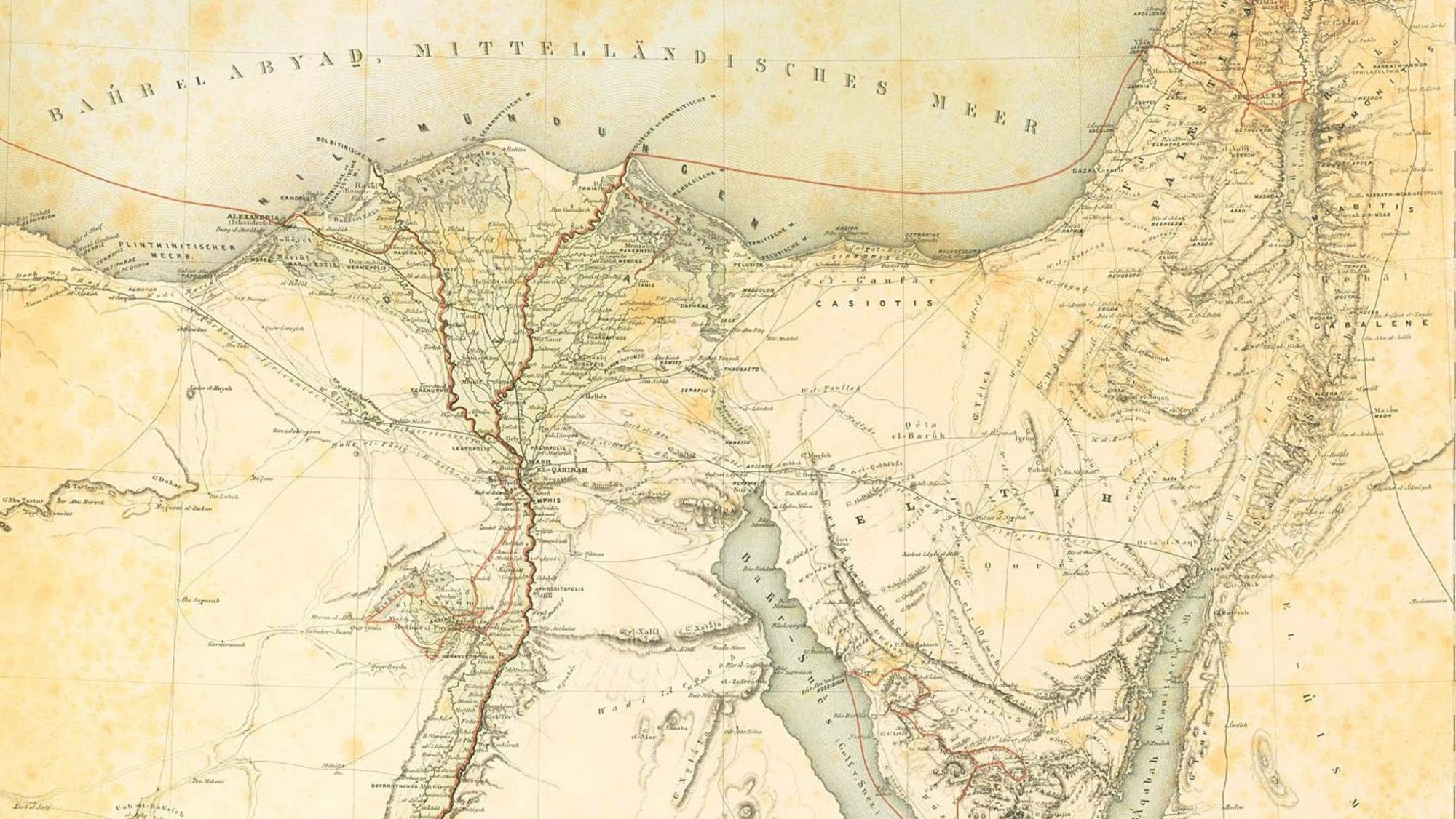
The aim of the project is to compile an exhaustive database of the terms used for places and regions in and around Egypt, and, in a second step, to then link these terms with the literature entries in the library’s catalogue. The compiled index will finally be accompanied by a georeferenced satellite map and published online as a supplementary application of the ZENON-catalogue. The online publication together with the fact that all entries will be made in English, will enable a wider public to enter specific search queries related to the topography of ancient and modern Egypt, and to locate toponyms given in the relevant scientific literature to quickly obtain reliable information.

